


Alte produse cu caracteristici asemănătoare
Alte produse Garmin: Garmin GPS
 649,00 RON
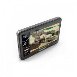
Navon N670 Full EU
649,00 RON
Navon N670 Full EU
 de la 344,45 RON
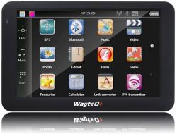
WayteQ x985BT NoMap
de la 344,45 RON
WayteQ x985BT NoMap
 de la 618,41 RON
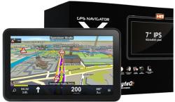
WayteQ x995 MAX + Sygic 3D
de la 618,41 RON
WayteQ x995 MAX + Sygic 3D
 253,78 RON
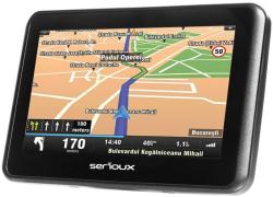
Serioux Urban Pilot Q430FE
253,78 RON
Serioux Urban Pilot Q430FE
Caracteristici, descrierea produsului - Garmin Montana 680t
Galerie - Garmin Montana 680t


Evoluţie preţ
Puteti obtine informatii privind evolutia pretului
Alerta pret
Serviciul Alerta pret va anunta daca pretul produsului ales scade sub suma precizata.
Pretul minim actual al produsului: 0,00 RON
Descrierea produsului
| Tip GPS | Sport |
| Memorie interna | 8 GB |
| Cititor de carduri | Da |
| Modulator FM | Nu |
| Informatii trafic Real-Time (TMC) | Nu |
Display | |
| Tip display | Touch Screen |
| Marime display | 4" |
| Rezolutie display | 480 x 272 pixeli |
Acumulator | |
| Tip baterie | Acumulator |
| Timp de asteptare | 16 ore |
Dimensiuni | |
| Latime | 75 mm |
| Inaltime | 144 mm |
| Grosime | 36 mm |
| Greutate | 289 g |
Transfer date | |
| Port USB | Da |
| Bluetooth | Nu |
| WLAN | Nu |
Ați găsit greşeli în descrierea produsului? Vă rugăm să ne trimiteți o notificare!
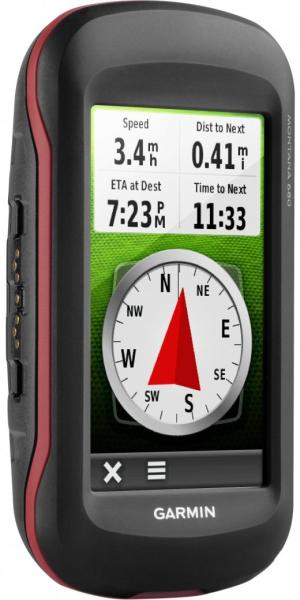
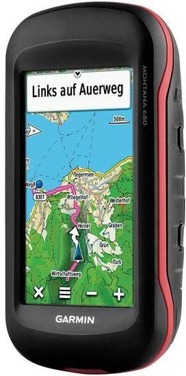
TOPOGPS+GLONASSBIRDSEYECOMPASSCAMERARugg ed GPS/GLONASS with 8 Megapixel Camera and Preloaded TOPO Maps
Denumiri similare la GPS Garmin Montana 680t: Montana 680 t, Montana680t, Mon tana 680 t
![]()
![]()
![]()
![]()
- 4-inch dual-orientation, glove-friendly touchscreen display
- 8 megapixel autofocus camera; automatically geotags photos
- Tracks both GPS and GLONASS satellites
- Preloaded TOPO U. S. 100K maps; includes 1-year BirdsEye Satellite Imagery subscription
- 3-axis compass with barometric altimeter
Denumiri similare la GPS Garmin Montana 680t: Montana 680 t, Montana680t, Mon tana 680 t
Galerie
Prețurile și informațiile de pe paginile noastre sunt furnizate de magazinele partenere și au caracter informativ, unele erori pot apărea. Imaginile produselor au caracter informativ, uneori pot include niște accesorii care nu sunt mereu incluse în pachetul de baza. Informațiile aferente produsului (imagine, descriere, preț) se pot schimba fără notificare prealabilă. Compari.ro nu își asumă responsabilitate pentru eventualele greșeli.
